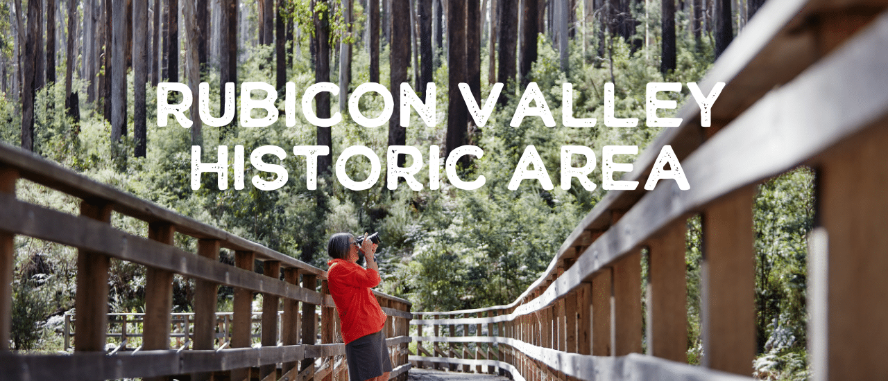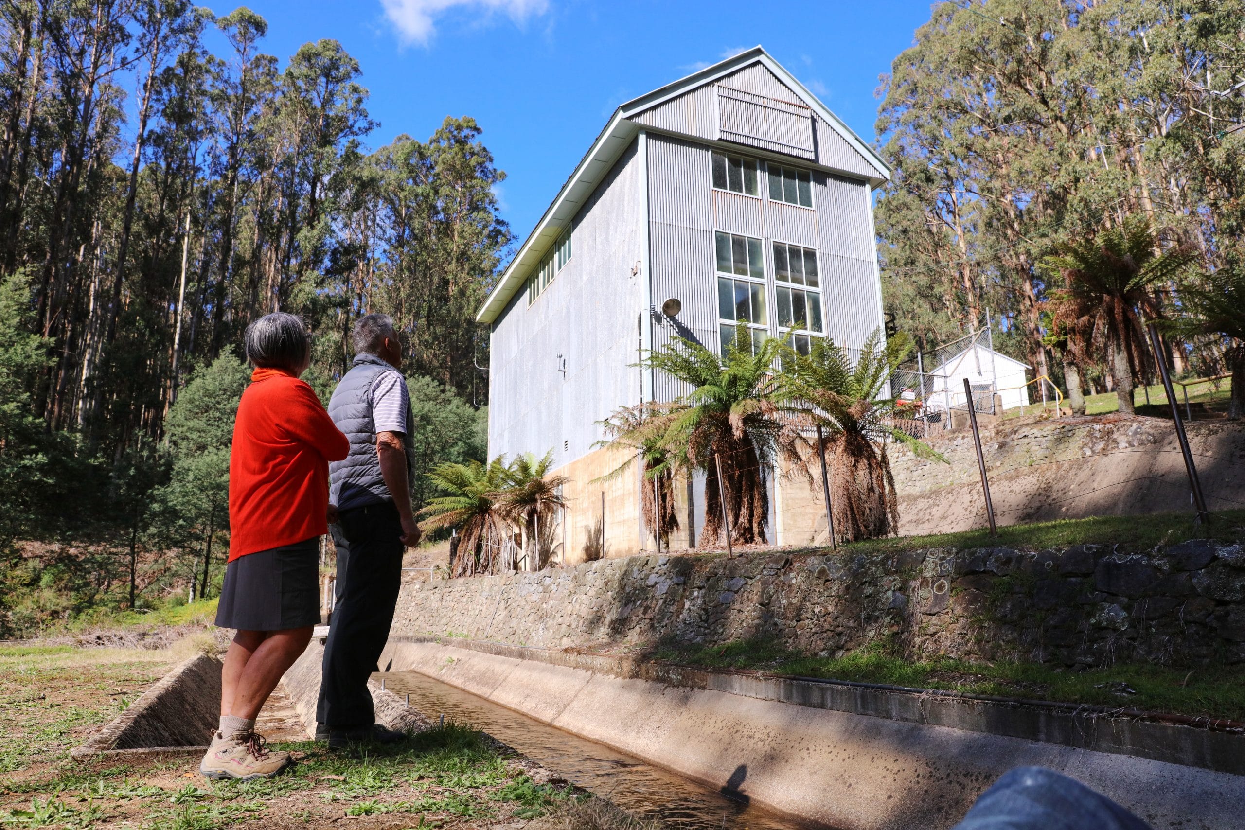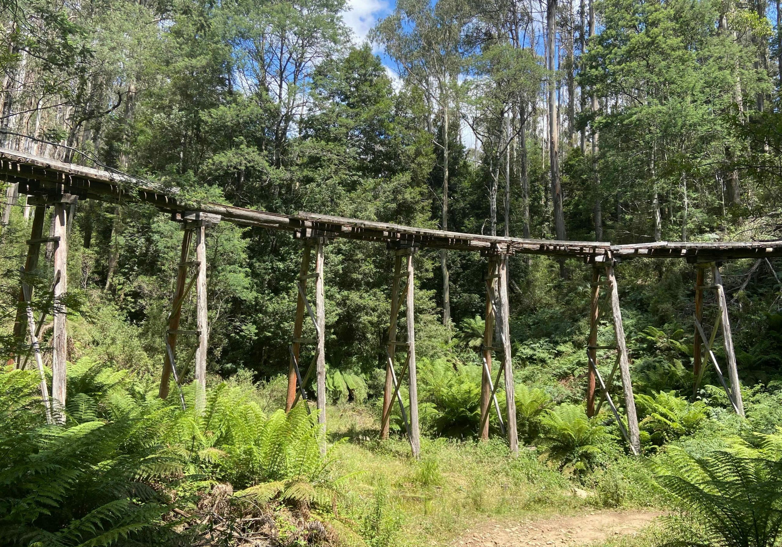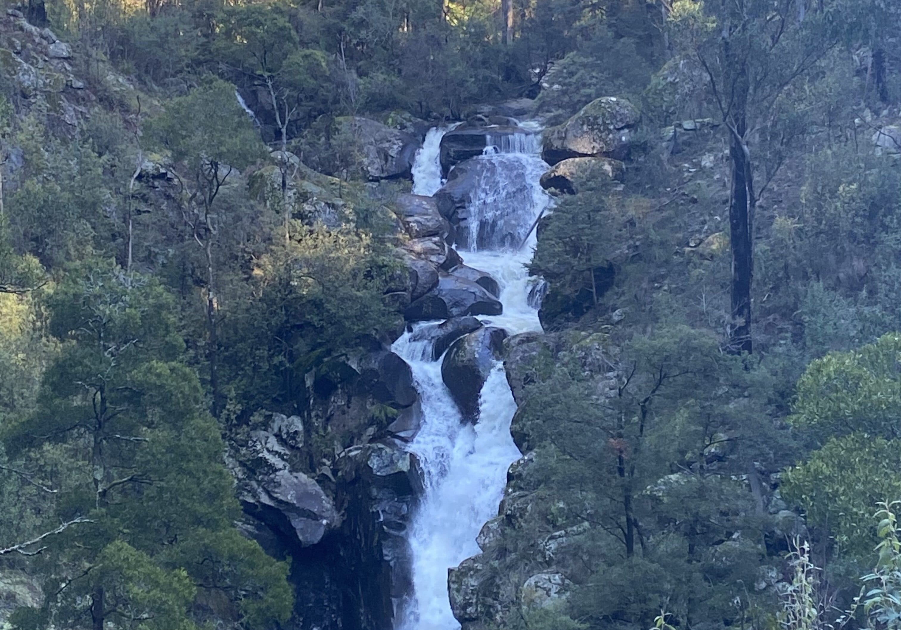
The Rubicon Valley Historic Area is home to stunning campsites, the beautiful Rubicon River and Falls and a series of spectacular trestle bridges set amongst remnants of the timber industry and the current hydro power system.
In it's heyday in the early 1900s this was a hive a of timber harvesting activity supporting eight sawmills served by a network of tramways which included several trestle bridges to span various gullies running through the area. In 1929 Victoria's first hydroelectric power scheme was completed in the valley and at the time supplied one fifth of Victoria's energy needs. It still operates today and the aqueducts and power station buildings are dotted throughout the valley adding to the points of interest.
There are several areas to explore throughout the seasons with a range of easy and more challenging walks to be found. There are a variety of grades of bush track accessible by gravel or mountain bike, 4WD or dirt bike set deep into the bush or leading to lookouts such as Morris Lookout. There's also fishing opportunities in the Rubicon River or one of its upper tributaries and camping available at several different sites.
Follow the aqueduct to Rubicon Dam
This 7km side trip winds it’s way through attractive tall forest on a generally flat route, passing a couple of charming trestle bridge Cross the Royston Power Station Bridge and follow the aqueduct and tramlines for 3.5km to the Rubicon Dam.
Beech Creek trestle bridge was previously burnt and has since been rebuilt and the Lubra Creek Trestle has deteriorated over time and so a short descent from the path on a side track to the creek now gets you across the valley. Take a break at the end of the tramline and you can take in the atmosphere of the damp gorge and its small dam before returning back down to the Royston Power station.
Walk to Rubicon Falls
From the Rubicon Power Station, the Rubicon River Road (service access only) meanders uphill on an increasing gradient above the river with great views of the steep sided valley around. Eventually the falls come into view and are most impressive in winter and following fresh rains. Continuing on this track you can reach an upper viewing point.
It is possible to link the Rubicon Falls and Aqueducts walks together. This would create a long day, ideally completed with two vehicles, one at either end of the trail.
Follow the heritage walk to the 15,000ft Siphon Bridge
From the trailhead at the junction of Rubicon River Road and Royston Road follow the trail down to Royston Power station, following the aqueducts past the Sawmill to the stunning 15,000ft Siphon Bridge. This is definitely one of the highlights of the area with numerous timber industry relics, dramatic trestle bridges and the infrastructure of the hydro scheme all set amidst a secluded bush setting. This is a 3km loop that takes approximately 1.5 hours to complete.

-- HOW TO GET THERE --
From Melbourne, take the Maroondah Highway over the stunning Black Spur to Taggerty. Alternatively, from the Goulburn Valley Highway take the Maroondah Highway to Taggerty via Alexandra. From Taggerty head towards Eildon along Taggerty-Thornton Road before turning off at Rubicon Road.
If you follow this road it eventually turns into an unsealed road and passes several camp grounds and then you turn left onto Royston Road and over a bridge. As you progress up the valley the road conditions can vary as you head into the upper part of the valley so drive safely.
Park your car at the Trailhead at the junction of Rubicon River Road and Royston Road and follow the trail and signs down to the Royston Power Station (from here head to Rubicon Dam) and continue along the tramlines to the 15,000 ft Siphon Bridge and back up to the car park.


